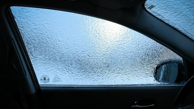
According to the current weather forecast, the first drops will fall to the ground in the southwest of the province on Wednesday afternoon.
The depression will then move towards central and eastern Quebec overnight to reach Bass Saint Laurent and Cote Nord on Thursday during the day.
Difficulty returning to work?
Therefore, returning to work could be difficult Thursday morning, especially on the roads of the larger regions of Montreal, Quebec and Gatineau which each must receive between 2 and 4 millimeters of ice.
About ten millimeters are also planned in the mountainous sectors of the Laurentians and Lanaudière and in the La Vérendrie Wildlife Sanctuary.
A warm front linked to a depression in the prairie will cross Quebec on Wednesday and Thursday
, the Department of Environment and Climate Change of Canada confirms in its weather report.
Do you have your own winter tires?
Caution is especially relevant for motorists who drive without winter tires. If travel is not necessary, it is advisable to stay at home.
Surfaces such as roads, streets, sidewalks, and parking lots can become icy, slippery, and dangerous. Make sure your driving is adapted to changing conditions
, states Environment and Climate Change in Canada.
For its part, the Ministry of Transport ensures that everything is done to facilitate the movement of vehicles in the most affected sectors.
Some tips for users in the case of ice:
- Turn on the headlights and be visible.
- Completely defrost your vehicle by performing a complete check of windows, mirrors, roof, hood, headlights and license plate.
- Make sure your vehicle is well prepared for the rigors of the cold season, for example by checking that the windshield washer’s antifreeze level is sufficient.
- Be patient with winter maintenance vehicles: beware of blind spots!
Source: MTQ
Hydro-Québec will also monitor depression since power outages can occur, as is usually the case during bouts of ice storms.

“Alcohol scholar. Twitter lover. Zombieaholic. Hipster-friendly coffee fanatic.”


