

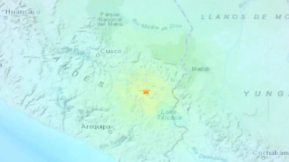
An earthquake of magnitude 7.2 shook southern Peru on Thursday, the US Geophysical Institute (USGS) announced, without causing any damage or injuries, according to the Peruvian authorities.
The institute said that the earthquake was recorded at 7:02 am local time (12:02 GMT), and its epicenter was near the town of Azangaro, near Lake Titicaca, and at a depth of about 200 km.
The Peruvian National Seismological Center estimated a magnitude of 6.9 and an epicenter of 240 km.
The Peruvian authorities explained that the great depth of the earthquake that hit the high Andes mountains in Peru made the shock wave more significant and affected the regions of Tacna (the border with Chile), Moquegua, Cusco and Arequipa.
“Currently, given the intensity level of the earthquake at the surface, it should not cause damage, but rather frighten” the population, Hernando Tavera, director of the Peruvian Geophysical Institute, told RPP radio.
“When the earthquake is deeper, the ground vibration is less. The radius of perception is larger than the tremor. The southern region of Peru was affected by the earthquake,” Mr. Tavira explained.
Peru is located in the Pacific Ring of Fire, a vast region of seismic activity that stretches along the western coast of the American continent. The country experiences at least 400 significant earthquakes each year.

Lucas Tremblay is a contributor at Vaughantoday.ca, covering a wide range of topics including local news, politics, business, technology, sports, entertainment, and lifestyle. He focuses on delivering clear, accurate reporting and useful information that helps readers stay informed about current events and issues affecting their communities. Lucas is committed to presenting relevant stories in a straightforward and accessible way, providing balanced coverage that keeps readers connected to the latest developments.